OVERVIEW
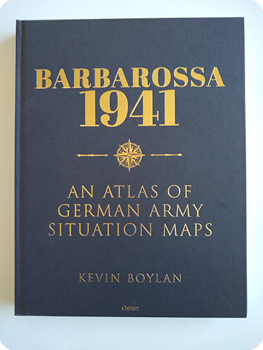
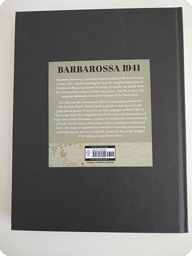
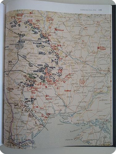
Featuring original 1: 2,500,000-scale German military maps, this is a beautifully presented atlas of the 1941 Operation Barbarossa campaign. These maps show the configuration of the front line and the locations of major Axis combat formations, as well as the deployments and movements of Soviet combat units as the German military intelligence understood them. The maps are supported by a detailed commentary summarizing and analyzing the operations depicted, tracing the day-to-day progress of the fighting on the Eastern Front.
ANALYSIS
If you are an avid WW2 book reader then this is one of those books that initially you want but likely don’t need. You already have many books on the Eastern Front with plenty of maps of local situations.
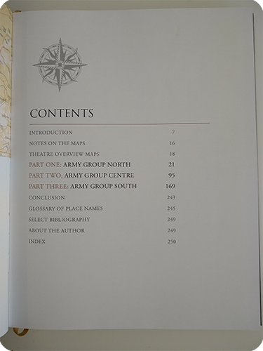
The book is mainly split into 3 parts covering Army Group North, Center, and South with situation updates every few days.
I was reading Prit Buttar’s latest books on Leningrad and I found myself referring to this book to understand what the Germans did and didn’t know each day as they approached Leningrad. As you start to look at the maps and the text that accompanies each one you start to realize the scale of what the Germans undertook when initially invading Russia. This is when turn from wanting the book to needing it. These maps show the situation as the Germans believed it to be for where the Russian units were and make a great accompanying book to those such as Prit Buttars’s books on the initial invasion of Russia
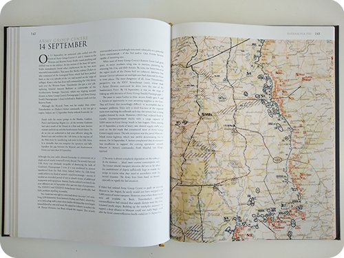
The book looks gorgeous and feels gorgeous when in your hands. The quality of the map images is outstanding. It’s a little expensive, although I bought mine as part of Ospreys black Friday, but worth every penny.
If you have an interest in the Eastern Front then really this book belongs on your bookshelves. I hope more books on the later stages of the war come out similar to this one.
